What this module delivers
- Country-scale river network visualisation
- Layer quality indicators, events and assets on a shared basemap
- Navigate from catchment overview to reach-level detail
Platform module
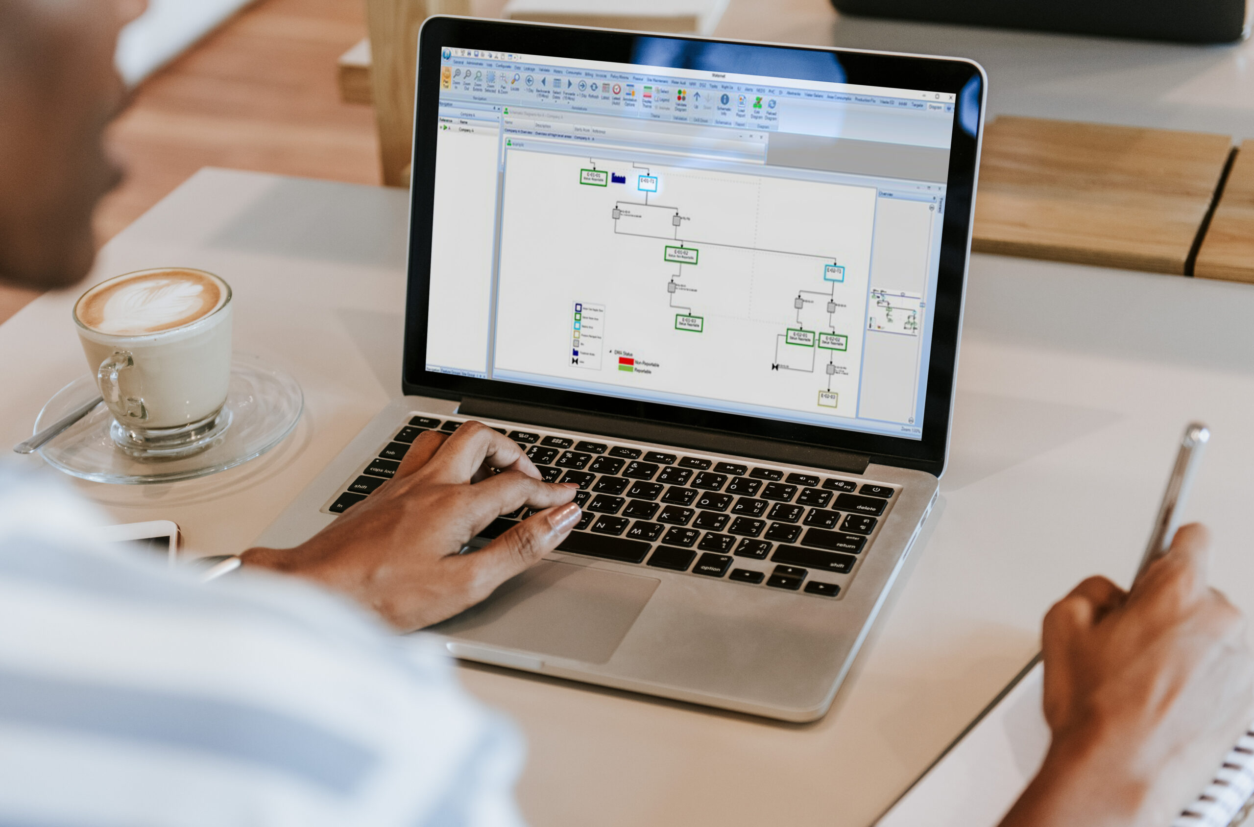
A live, map-based view of water quality — like a “Google Maps for river water quality” — so teams see the network at a glance.
Platform packages
Modules are deployed as part of a fixed capability area — not as standalone products. This module appears in the packages below (some modules support more than one).
Common questions
Streamline is organised around three areas: Unified river view, Detection & response, and Assessment & intelligence. Each brings together specific modules on a shared data foundation.
Book a demo to see this module in the context of your packages and network data.